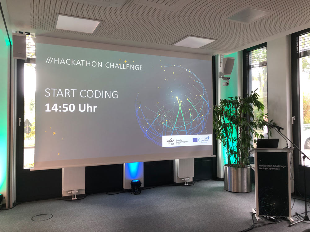
Copernicus Hackathon “Coding Copernicus”
CITY - LAND - TRANSPORT
We invite you to the Coding Copernicus Hackathon. Together we want to use Copernicus Earth Observation data to find new ideas for a more sustainable and climate-friendly future.
Using Copernicus data, you will work in a team over 24 hours on one of 3 challenges: City, Land, or Transport.
Copernicus coding
WHAT IS IT ABOUT?
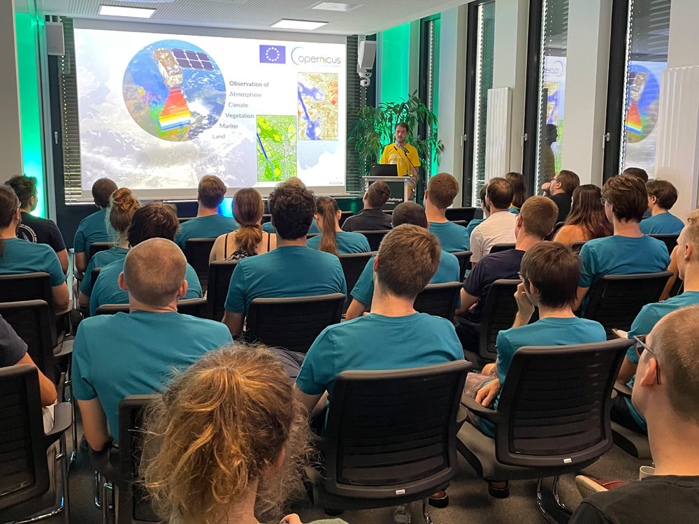
Observing the Earth from space makes it possible to detect changes in land surface and develop measures to protect our environment and climate.
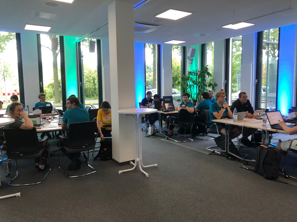
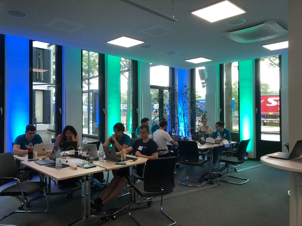
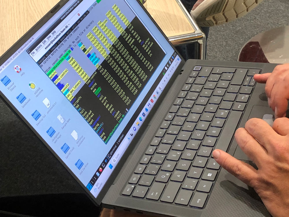
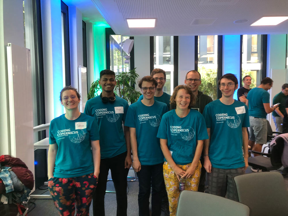
Whether you are a geoscientist, developer, programmer, graphic designer or space enthusiast - everyone can participate. We invite you to use your knowledge and skills to develop new ideas for the use of satellite data. From an idea to a prototype - in just 24 hours. During the entire time, you will be supervised by experts.
At the end of the hackathon, each team will pitch its idea. The team that has the best idea and convinces the jury, wins. The winning team will receive a prize money of 1.500€ and a startup package on CODE-DE. Moreover, the winner gets a guided tour through the European Astronaut Center of ESA on the DLR site in Cologne-Porz.
When and where?
When: August 24th and 25th, 2023
Where: DLR Project Management Agency, Joseph-Beuys-Allee 4, 53113 Bonn, Germany.
Please note: The registration period has expired & registration is no longer possible!
Our challenges
#City
Green instead of grey - your contribution to a climate-resilient city
Many climate change impacts are clustered in urban areas. That's why we are looking for new ideas to make cities more resilient to climate change.
Your challenge: How can satellite data contribute to climate-resilient urban planning? Are you ready to plan the future of your city?
The challenge is hosted by EurA AG.
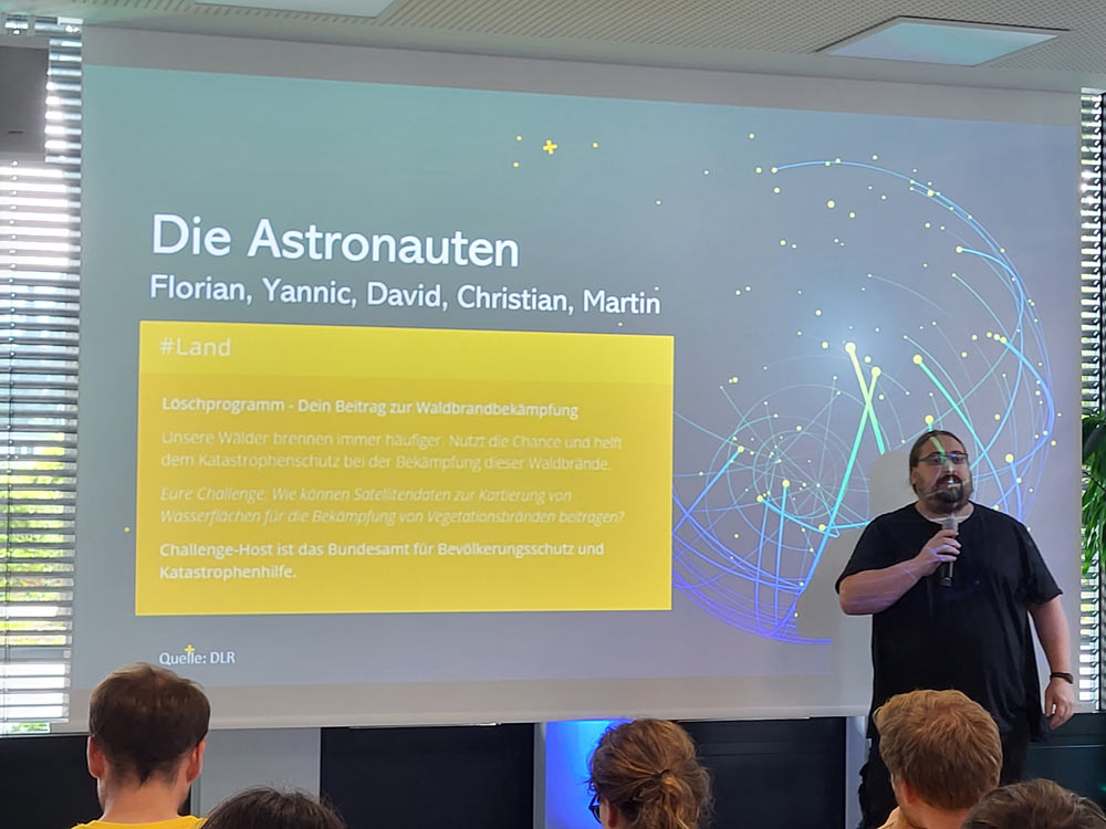
#Land
Firefighting - your contribution to fight vegetation fires.
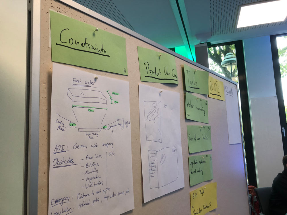
How can satellite data help to map water areas to fight vegetation fires?
Our forests are burning more and more frequently. Help Civil Protection fight these wildfires.
Your challenge: How can satellite data help to map water areas for firefighting aircraft?
The Challenge is hosted by the Federal Office of Civil Protection and Disaster Assistance.
#Transport
Hack your way through traffic - your contribution to a green infrastructure.
This challenge is not just about code and technology, you have the chance to make traffic areas greener.
Your challenge: What is the ecological potential of secondary transport areas?
The Challenge is organized by the Federal Highway Research Institute.
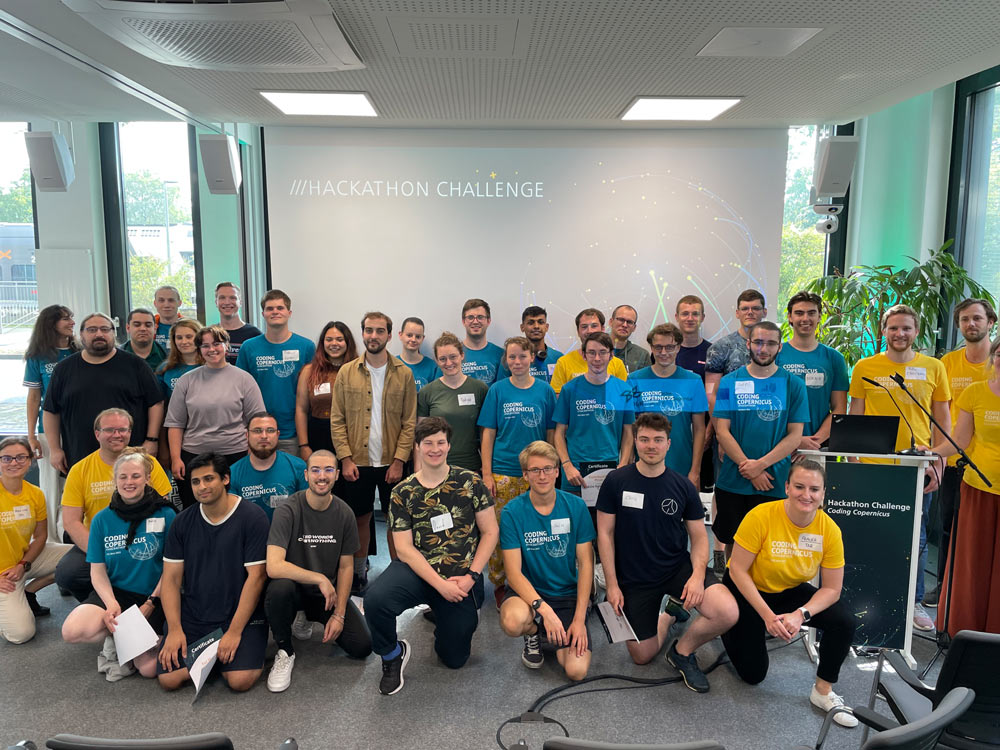
Results
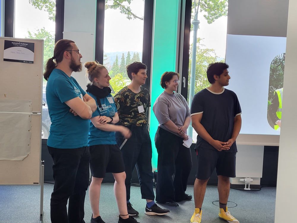
Within 24 hours, the teams created impressive apps for making cities more climate-resilient, supporting firefighting during wildfires and improving the ecological potential of secondary transportation areas.
The teams were supported by experts from the different thematic areas. The ESA Business Incubation Centre (BIC) NRW advised the teams on further steps after the hackathon.
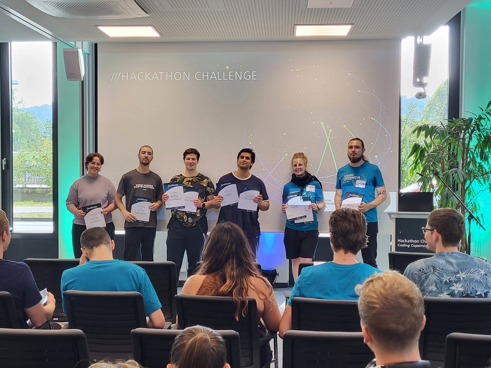
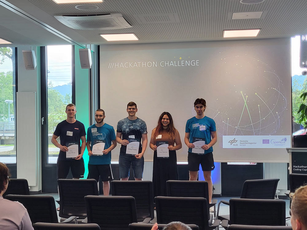
After 24 hours of hacking, each team had 5 minutes to convince the jury, including the Copernicus Network Offices City and Transport, the Federal Office of Civil Protection and Disaster Assistance, the German Space Agency at DLR, the Earth Observation Centre at DLR, and Center for Remote Sensing of Land Surfaces at the University of Bonn, of their idea.
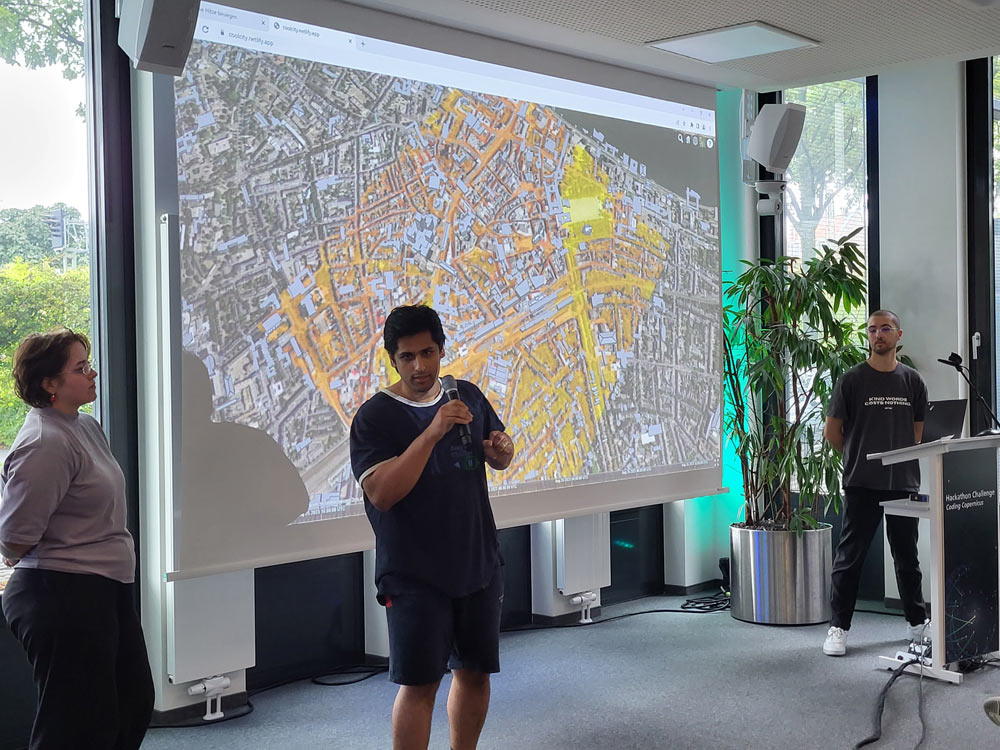
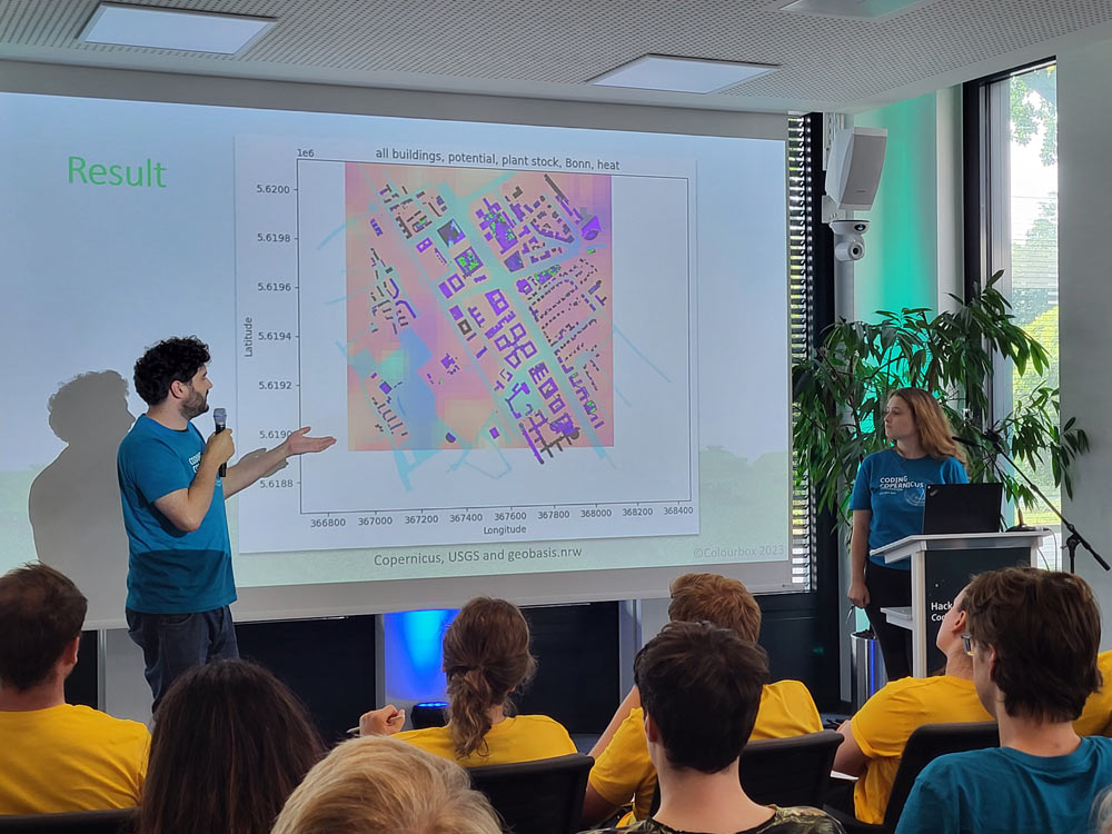
The first prize went to CoolCity - a fictitious start-up that developed a platform that analyses various data sets for urban planning. Through this tool heat islands can be identified, greening measures planned and potential health risks derived.
The second prize went to FIRO. They developed a tool that shows water areas (type, dimensions) that are relevant for aerial firefighting. For combating wildfires, aircraft are used in Europe, including Germany. Those aircraft are refilled with water by flying over a suitable water area. These water areas are known as scooping areas.
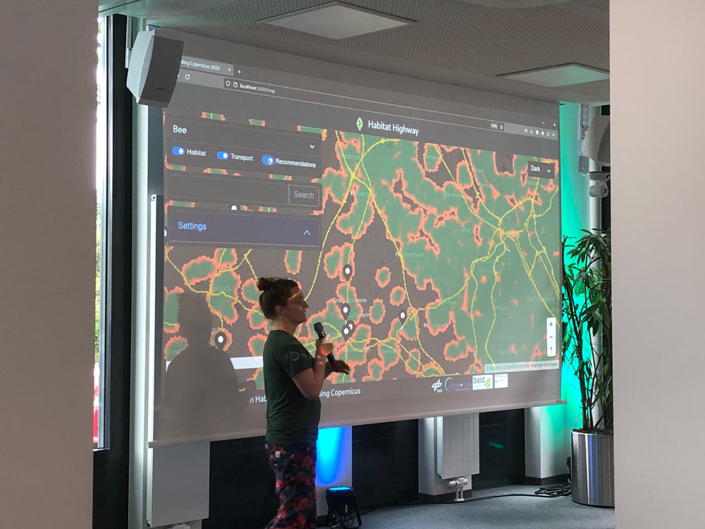
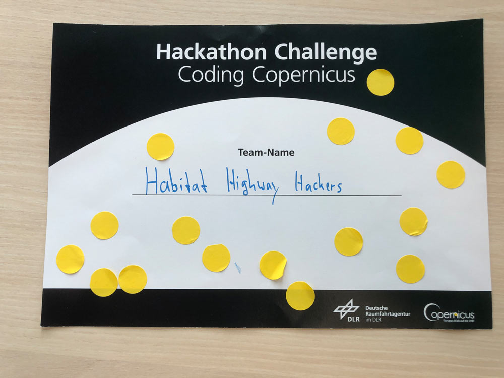
While the jury awarded the first and second places, the participants decided on the third place themselves. The Habitat Highway Hackers team received the most votes and won the community prize.
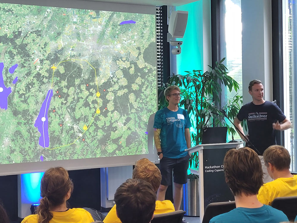
The Habitat Highway Hackers studied the ecological potential of secondary traffic areas, which cover about 3 % of Germany's surface. Using Copernicus and traffic data, the team created a web app highlighting which secondary traffic areas would be suitable habitats for animals such as bees or bats.
"We were very impressed by your enthusiasm and ideas! We would be happy to see you again at the next Hackathon in 2024."


#City
#Land
#Transport
Give us a call
Mail us
Us on the Internet
Organizer
Sponsored by:
This project is supported by the European Union's Caroline Herschel Framework Partnership Agreement on Copernicus User Uptake (FPCUP) under Framework Agreement No. FPA 275/G/GRO/COPE/17/10042, 2020-3-28, Copernicus Hackathon "Coding Copernicus" - new ideas for using Copernicus data, SGA#16.
Experts & jury: